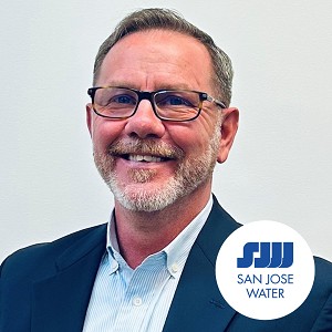
Get to Know Our Amazing Lineup of Guest Speakers
We spend all year following a show drawing together the best possible lineup of high-level professionals from across the expanses of emergency response and disaster management. These lineups tend to include government representatives, speakers from environmental agencies, and leaders from the world of technology. On each speaker’s microsite you’ll get a little profile of them and their career, so you can learn who’ll be sharing their insights at the show!
Comprehensive Subject Matter
This year’s lineup will feature educational seminars and Keynote Speeches covering a diverse range of pressing industry topics. Whether touching on the importance of earthquake resilience, the efforts of NGOs, or meteorological science, each and every seminar at the show will dig deep into the subject. You can trust that any speech you witness at the show will be comprehensively informative.
Keynote Speakers
Alphabetical
All Speakers


